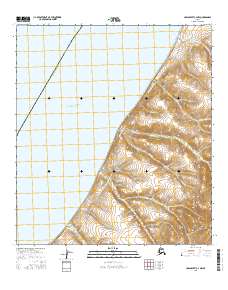
2016 Map of Unalakleet C-4 NW
USGS Topo · Published 2016About this map
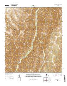
Norton Sound defines the western expanse of this coastal landscape, where the waters of the Bering Sea meet the rising elevations of the Nome Census Area. The shoreline is traced by the Costal Route to Tolstoi Point, a terrestrial path navigating the narrow margin between the sea and the upland drainages. The eastern interior is defined by a series of steep drainages, including Coal Mine Cr, Glacier Cr, and Point Cr, which flow westward from high ridges toward the sound. The presence of Coal Mine Cr suggests the area's geological potential and historical industrial interests, while the Costal Route to Tolstoi Point highlights the essential transit corridor connecting isolated points along this northern reach. Further south, Spruce Cr and Poker Cr continue the pattern of drainage systems cutting through the coastal hills.
Find a feature on this map
13 named features on this map. Tap any name to fly to it.
Don’t see what you’re looking for? This feature index may not catch every label — zoom into the map to look around manually.
Map Details
Editions of this 2016 Unalakleet C-4 NW Map
This is the sole edition of this map. No revisions or reprints were ever made.
Other maps of this area

1950 · Unalakleet D-4
USGS Topo · 1:63,360

1951 · Unalakleet
USGS Topo · 1:250,000

1952 · Unalakleet C-4
USGS Topo · 1:63,360
1952 · Unalakleet C-5
USGS Topo · 1:63,360

1952 · Unalakleet
USGS Topo · 1:250,000

1964 · Unalakleet
USGS Topo · 1:250,000
2015 · Unalakleet C-4 SE
USGS Topo · 1:25,000
2015 · Unalakleet D-4 SE
USGS Topo · 1:25,000
2015 · Unalakleet C-4 NE
USGS Topo · 1:25,000
2016 · Unalakleet C-4 SW
USGS Topo · 1:25,000