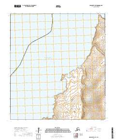
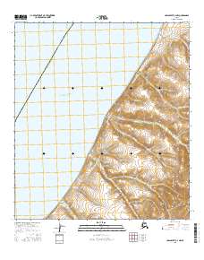
2017 Map of Unalakleet C-5 SE
USGS Topo · Published 2017About this map
Norton Sound dominates the western half of this coastal landscape, where the waters of the Bering Sea meet the rugged shoreline of the Seward Peninsula. The coastal geography is defined by prominent landmarks such as Tolstoi Point in the north and Black Point further south, creating a series of protected inlets. Notable among these is Nunovulnuk Harbor, a significant natural feature for maritime navigation in this remote stretch of the Alaska Nome Census Area.
Find a feature on this map
16 named features on this map. Tap any name to fly to it.
Don’t see what you’re looking for? This feature index may not catch every label — zoom into the map to look around manually.
Map Details
Editions of this 2017 Unalakleet C-5 SE Map
This is the sole edition of this map. No revisions or reprints were ever made.
Other maps of this area

1951 · Unalakleet
USGS Topo · 1:250,000

1952 · Unalakleet B-4
USGS Topo · 1:63,360

1952 · Unalakleet C-4
USGS Topo · 1:63,360

1952 · Unalakleet B-5
USGS Topo · 1:63,360
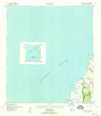
1952 · Unalakleet C-5
USGS Topo · 1:63,360

1952 · Unalakleet
USGS Topo · 1:250,000

1964 · Unalakleet
USGS Topo · 1:250,000
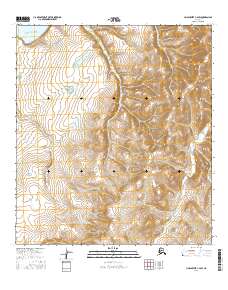
2016 · Unalakleet C-4 SW
USGS Topo · 1:25,000
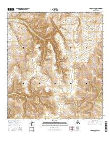
2016 · Unalakleet B-4 NW
USGS Topo · 1:25,000
2016 · Unalakleet C-4 NW
USGS Topo · 1:25,000