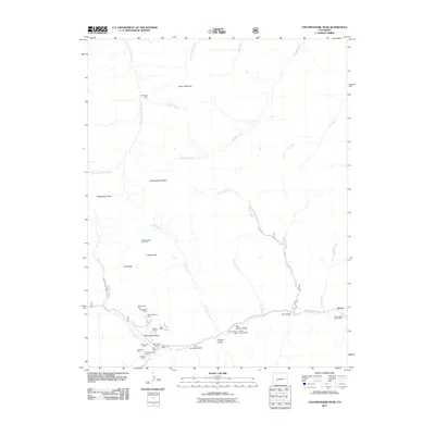
2011 Map of Uncompahgre Peak
USGS Topo · Published 2011About this map
Henson Creek and its southern tributaries define this high-altitude landscape, where the concentrated mining claims of the San Juan Mountains are documented in detail. The settlement of Henson serves as the primary landmark in the southeast, situated near the sprawling Ute and Ulay Group Mine. Along the drainage of North Fork Henson Creek, a dense cluster of historic lode mines is recorded, including the Gallic-Vulcan Mine, Capitol City Mine, and Yellow Medicine Mine.
Find a feature on this map
44 named features on this map. Tap any name to fly to it.
Don’t see what you’re looking for? This feature index may not catch every label — zoom into the map to look around manually.
Map Details
Editions of this 2011 Uncompahgre Peak Map
This is the sole edition of this map. No revisions or reprints were ever made.
Other maps of this area

1897 · Silverton
USGS Topo · 1:62,500

1901 · Silverton
USGS Topo · 1:62,500

1902 · Silverton
USGS Topo · 1:62,500

1902 · Ouray
USGS Topo · 1:62,500

1903 · Lake City
USGS Topo · 1:62,500

1904 · Ouray
USGS Topo · 1:62,500

1905 · Lake City
USGS Topo · 1:62,500

1905 · San Cristobal
USGS Topo · 1:125,000

1907 · San Cristobal
USGS Topo · 1:125,000

1908 · Uncompahgre
USGS Topo · 1:125,000