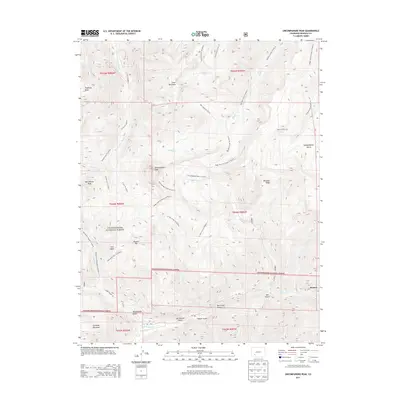
2013 Map of Uncompahgre Peak
USGS Topo · Published 2013About this map
Uncompahgre Peak and the surrounding high-alpine landscape of the Uncompahgre National Forest dominate this 2013 survey. The terrain is defined by dramatic elevations, including Matterhorn Peak, Sunshine Mountain, and Silver Mountain. The map reveals a legacy of resource extraction through names like Lee Smelter Gulch, Big Casino Gulch, and the Iron Beds, indicating the area's historical mining activity. A complex network of pack trails and stock routes, such as the Ridge Stock Driveway Trl and Uncompahgre Peak Trl, provides the primary means of navigating the drainages of the Little Cimarron River and Henson Creek. These routes follow the natural contours of the land, connecting remote points like Pinnacle Ridge and Porphyry Basin, and illustrating the persistent reliance on historic trail systems in this high-altitude wilderness.
Find a feature on this map
46 named features on this map. Tap any name to fly to it.
Don’t see what you’re looking for? This feature index may not catch every label — zoom into the map to look around manually.
Map Details
Editions of this 2013 Uncompahgre Peak Map
This is the sole edition of this map. No revisions or reprints were ever made.
Other maps of this area

1897 · Silverton
USGS Topo · 1:62,500

1901 · Silverton
USGS Topo · 1:62,500

1902 · Silverton
USGS Topo · 1:62,500

1902 · Ouray
USGS Topo · 1:62,500

1903 · Lake City
USGS Topo · 1:62,500

1904 · Ouray
USGS Topo · 1:62,500

1905 · Lake City
USGS Topo · 1:62,500

1905 · San Cristobal
USGS Topo · 1:125,000

1907 · San Cristobal
USGS Topo · 1:125,000

1908 · Uncompahgre
USGS Topo · 1:125,000