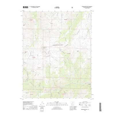
2019 Map of Uncompahgre Peak
USGS Topo · Published 2019About this map
Uncompahgre Peak dominates this high-altitude landscape within the Uncompahgre National Forest, reaching toward the center of the San Juan Mountains. The terrain is marked by extreme elevation changes, rising from the settlement at Henson in the southeast corner toward prominent summits like Wetterhorn Peak and Matterhorn Peak. The intricate system of alpine drainages, including Nellie Creek, El Paso Creek, and the Little Cimarron River, has historically dictated travel and industry in this difficult environment.
Find a feature on this map
51 named features on this map. Tap any name to fly to it.
Don’t see what you’re looking for? This feature index may not catch every label — zoom into the map to look around manually.
Map Details
Editions of this 2019 Uncompahgre Peak Map
This is the sole edition of this map. No revisions or reprints were ever made.
Other maps of this area

1897 · Silverton
USGS Topo · 1:62,500

1901 · Silverton
USGS Topo · 1:62,500

1902 · Silverton
USGS Topo · 1:62,500

1902 · Ouray
USGS Topo · 1:62,500

1903 · Lake City
USGS Topo · 1:62,500

1904 · Ouray
USGS Topo · 1:62,500

1905 · Lake City
USGS Topo · 1:62,500

1905 · San Cristobal
USGS Topo · 1:125,000

1907 · San Cristobal
USGS Topo · 1:125,000

1908 · Uncompahgre
USGS Topo · 1:125,000