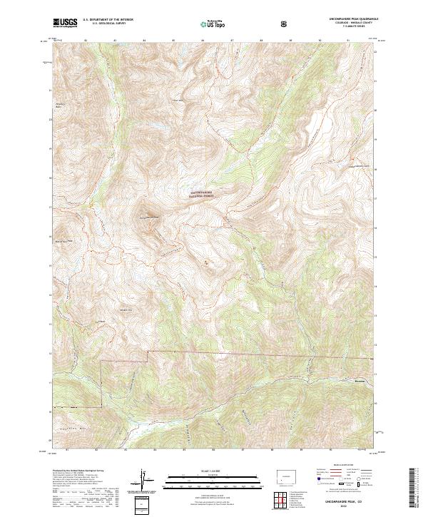
2022 Map of Uncompahgre Peak
USGS Topo · Published 2022About this map
Henson sits at the convergence of mountain drainages in the southeastern corner of this Uncompahgre National Forest landscape, serving as a gateway to the high-altitude terrain of Hinsdale County. The area is defined by massive peaks including Uncompahgre Peak, Matterhorn Peak, and Sunshine Mtn, which surround a complex system of deep gulches and basins. The mapping detail reveals a history of resource extraction and transit through names like Lee Smelter Gulch, Big Casino Gulch, and the Iron Beds, alongside the Porphyry Basin. This network of Co RD 20 and numerous pack trails, such as the Ridge Stock Driveway Trl and Matterhorn Trl, illustrates the movement of livestock and minerals through these high passes. The Little Cimarron River and Henson Cr provide the primary hydrologic framework for a territory that has transitioned from intensive mining activity to managed wilderness.
Find a feature on this map
53 named features on this map. Tap any name to fly to it.
Don’t see what you’re looking for? This feature index may not catch every label — zoom into the map to look around manually.
Map Details
Editions of this 2022 Uncompahgre Peak Map
This is the sole edition of this map. No revisions or reprints were ever made.
Other maps of this area

1897 · Silverton
USGS Topo · 1:62,500

1901 · Silverton
USGS Topo · 1:62,500

1902 · Silverton
USGS Topo · 1:62,500

1902 · Ouray
USGS Topo · 1:62,500

1903 · Lake City
USGS Topo · 1:62,500

1904 · Ouray
USGS Topo · 1:62,500

1905 · Lake City
USGS Topo · 1:62,500

1905 · San Cristobal
USGS Topo · 1:125,000

1907 · San Cristobal
USGS Topo · 1:125,000

1908 · Uncompahgre
USGS Topo · 1:125,000