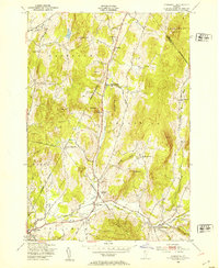
1948 Map of Underhill
USGS Topo · Published 1953About this map
The Browns River valley defines the character of this Vermont landscape, where the town of Underhill and nearby Riverside serve as the primary hubs. This mid-century survey captures a rural settlement pattern deeply rooted in small-scale districts, evidenced by several distinct schoolhouses such as English Settlement Sch, Irish Settlement Sch, and Governors Right Sch. The map records the transition of these upland communities as they moved away from strictly agrarian isolation toward a more integrated regional network along Route 15.
Find a feature on this map
47 named features on this map. Tap any name to fly to it.
Don’t see what you’re looking for? This feature index may not catch every label — zoom into the map to look around manually.
Map Details
Editions of this 1948 Underhill Map
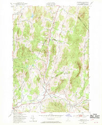
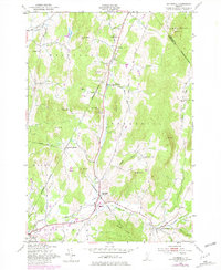
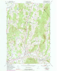
4 editions found
Other maps of this area

1906 · Burlington
USGS Topo · 1:62,500

1913 · Milton
USGS Topo · 1:48,000

1915 · Milton
USGS Topo · 1:62,500

1919 · Burlington
USGS Topo · 1:62,500

1921 · Richmond
USGS Topo · 1:48,000

1924 · Camels Hump
USGS Topo · 1:62,500

1925 · Mount Mansfield
USGS Topo · 1:48,000

1927 · Mount Mansfield
USGS Topo · 1:62,500

1944 · Milton
USGS Topo · 1:62,500

1944 · Mount Mansfield
USGS Topo · 1:62,500