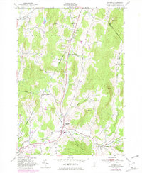
1948 Map of Underhill
USGS Topo · Published 1981About this map
Browns River carves a significant path through this Vermont landscape, anchoring a valley where the settlements of Riverside, Underhill, and Jericho converged during the late 1940s. The region is defined by a dense network of rural schoolhouses and distinct ethnic or localized hamlets, such as the English Settlement Sch and Irish Settlement Sch. These labels suggest a mid-century community still tied closely to its 19th-century settlement patterns, where neighborhood identity was often centered around a single school or a specific upland clearing like Flynn Hill or Metcalf Hill.
Find a feature on this map
40 named features on this map. Tap any name to fly to it.
Don’t see what you’re looking for? This feature index may not catch every label — zoom into the map to look around manually.
Map Details
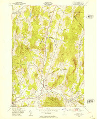
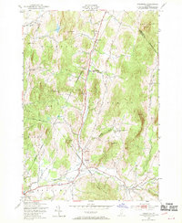
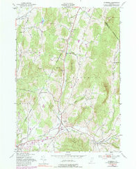
Editions of this 1948 Underhill Map
4 editions found
Other maps of this area

1906 · Burlington
USGS Topo · 1:62,500

1913 · Milton
USGS Topo · 1:48,000

1915 · Milton
USGS Topo · 1:62,500

1919 · Burlington
USGS Topo · 1:62,500

1921 · Richmond
USGS Topo · 1:48,000

1924 · Camels Hump
USGS Topo · 1:62,500

1925 · Mount Mansfield
USGS Topo · 1:48,000

1927 · Mount Mansfield
USGS Topo · 1:62,500

1944 · Milton
USGS Topo · 1:62,500

1944 · Mount Mansfield
USGS Topo · 1:62,500