
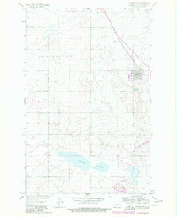
1961 Map of Underwood
USGS Topo · Published 1963About this map
The town of Underwood serves as the focal point of this 1961 survey, situated along the Soo Line railroad in McLean County. The landscape is characterized by the expansive Weller Slough to the south and the Long Fellow terrain to the west, reflecting the glacial prairie pothole region of North Dakota. This era captures the area during the development of the Missouri River Basin, a detail noted in the margin as a key driver for the mapping effort.
Find a feature on this map
14 named features on this map. Tap any name to fly to it.
Don’t see what you’re looking for? This feature index may not catch every label — zoom into the map to look around manually.
Map Details
Editions of this 1961 Underwood Map
2 editions found
Other maps of this area

1922 · Garrison
USGS Topo · 1:62,500

1929 · Coleharbor
USGS Topo · 1:62,500

1948 · Stanton
USGS Topo · 1:62,500

1949 · Stanton
USGS Topo · 1:62,500

1949 · Washburn
USGS Topo · 1:62,500

1954 · McClusky
USGS Topo · 1:250,000

1958 · McClusky
USGS Topo · 1:250,000

1961 · Lake Nettie
USGS Topo · 1:24,000

1961 · Washburn
USGS Topo · 1:24,000

1961 · Washburn NE
USGS Topo · 1:24,000