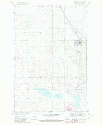
1961 Map of Underwood
USGS Topo · Published 1980About this map
Underwood serves as the focal point of this McLean County survey, which documents the town's expansion and infrastructure during the late twentieth century. In 1980, revisions in purple captured new developments such as a Trailer Park and Sewage Disposal Ponds, reflecting local growth alongside established landmarks like the Fairground. The landscape is defined by the transition from old transit methods to modern water management projects, evidenced by the Old Railroad Grade and the Canal Under Construction visible near the southern edge.
Find a feature on this map
19 named features on this map. Tap any name to fly to it.
Don’t see what you’re looking for? This feature index may not catch every label — zoom into the map to look around manually.
Map Details
Editions of this 1961 Underwood Map
2 editions found

Other maps of this area

1922 · Garrison
USGS Topo · 1:62,500

1929 · Coleharbor
USGS Topo · 1:62,500

1948 · Stanton
USGS Topo · 1:62,500

1949 · Stanton
USGS Topo · 1:62,500

1949 · Washburn
USGS Topo · 1:62,500

1954 · McClusky
USGS Topo · 1:250,000

1958 · McClusky
USGS Topo · 1:250,000

1961 · Lake Nettie
USGS Topo · 1:24,000

1961 · Washburn
USGS Topo · 1:24,000

1961 · Washburn NE
USGS Topo · 1:24,000