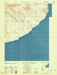
1958 Map of Unimak B-2 NE
USGS Topo · Published 1958About this map
Cape Lutke projects into the northern waters of the Pacific Ocean in this mid-century hydrographic study of Unimak Island’s coast. Compiled by the Army Map Service using data from the late 1930s and early 1940s, the map provides precise soundings in fathoms along a coastline defined by rocky outcroppings and sand bars. The interior landscape, situated within the Third Judicial Division, is represented by detailed contour lines that reveal a steep, rising terrain characteristic of the Aleutian chain. This specific survey was not field-checked, relying instead on coastal hydrography from the U.S. Coast and Geodetic Survey to chart the treacherous shoreline where the volcanic slopes meet the sea.
Find a feature on this map
3 named features on this map. Tap any name to fly to it.
Don’t see what you’re looking for? This feature index may not catch every label — zoom into the map to look around manually.
Map Details
Editions of this 1958 Unimak B-2 NE Map
This is the sole edition of this map. No revisions or reprints were ever made.
Other maps of this area

1951 · Unimak
USGS Topo · 1:250,000

1958 · Unimak
USGS Topo · 1:250,000

1989 · Unimak C-1
USGS Topo · 1:63,360
1989 · Unimak B-2
USGS Topo · 1:63,360
1989 · Unimak C-2
USGS Topo · 1:63,360
2020 · Unimak B-2 NW
USGS Topo · 1:25,000
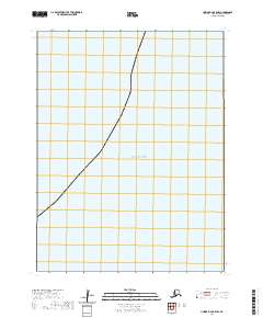
2020 · Unimak B-2 OE E NW
USGS Topo · 1:25,000
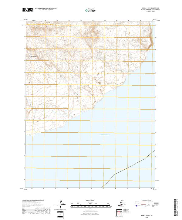
2021 · Unimak B-2 NE
USGS Topo · 1:25,000
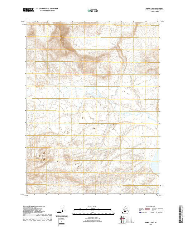
2021 · Unimak C-2 SE
USGS Topo · 1:25,000
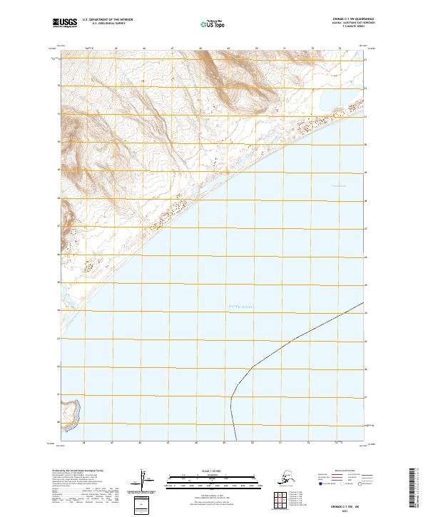
2021 · Unimak C-1 SW
USGS Topo · 1:25,000