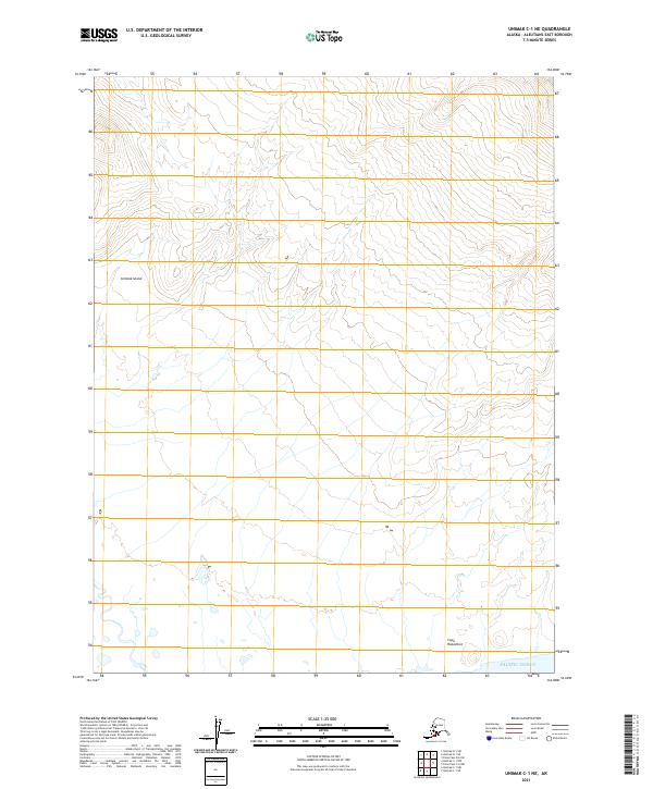
2021 Map of Unimak C-1 NE
USGS Topo · Published 2021About this map
Unimak Island serves as the focal point for this topographic survey, capturing a wild stretch of the Aleutian Islands where the land meets the Pacific Ocean. The geography is defined by a series of steep drainages and high ridges that descend toward the coast, culminating in the prominent Cape Rukavitsie. This map provides a detailed look at the island's natural drainage patterns and elevation profiles before the modern shoreline of the Bering Sea region, offering a clear record of the coastal topography in the Pacific Ocean waters. While the area lacks developed roads or human settlements, the map documents the Public Land Survey System grid, including townships t63s r99w and t64s r98w, which are essential for navigating and cataloging this remote Alaskan terrain.
Find a feature on this map
7 named features on this map. Tap any name to fly to it.
Don’t see what you’re looking for? This feature index may not catch every label — zoom into the map to look around manually.
Map Details
Editions of this 2021 Unimak C-1 NE Map
This is the sole edition of this map. No revisions or reprints were ever made.
Other maps of this area

1949 · False Pass
USGS Topo · 1:250,000

1950 · False Pass
USGS Topo · 1:250,000

1951 · Unimak
USGS Topo · 1:250,000

1958 · Unimak
USGS Topo · 1:250,000

1989 · Unimak C-1
USGS Topo · 1:63,360
1989 · False Pass C-6
USGS Topo · 1:63,360
1989 · Unimak D-1
USGS Topo · 1:63,360
1989 · False Pass D-6
USGS Topo · 1:63,360
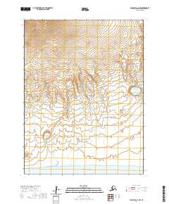
2020 · False Pass C-6 NW
USGS Topo · 1:25,000
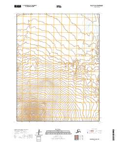
2020 · False Pass D-6 SW
USGS Topo · 1:25,000