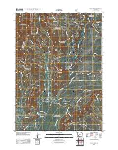
2011 Map of Union Creek
USGS Topo · Published 2011About this map
Union Creek sits at the heart of this landscape, serving as a gateway to the high timber and volcanic river features of the southern Cascades. The Rogue River flows prominently through the center of the sheet, characterized by dramatic geomorphology at the Natural Bridge Viewpoint and the Big Bend. This 2011 survey documents the recreational infrastructure of the area, from the historic Union Creek Resort to scattered backcountry sites like Foster Creek Forest Camp and Long Prairie Forest Camp. The terrain is marked by significant elevations, including Anderson Mountain and Wolf Peak, with the Mount Stella Lookout Tower standing as a sentinel over the surrounding drainage basins of Castle Creek and Whisky Creek. The map details an extensive network of Forest Service roads and trails, such as the Rogue Gorge Trail 1034A, which follow the ancient path of the river through this heavily forested corridor.
Find a feature on this map
42 named features on this map. Tap any name to fly to it.
Don’t see what you’re looking for? This feature index may not catch every label — zoom into the map to look around manually.
Map Details
Editions of this 2011 Union Creek Map
This is the sole edition of this map. No revisions or reprints were ever made.
Other maps of this area

1891 · Ashland
USGS Topo · 1:250,000

1893 · Ashland
USGS Topo · 1:250,000

1897 · Ashland
USGS Topo · 1:250,000

1917 · Diamond Lake
USGS Topo · 1:125,000

1944 · Abbott Butte
USGS Topo · 1:62,500

1947 · Abbott Butte
USGS Topo · 1:62,500

1955 · Quartz Mtn
USGS Topo · 1:62,500

1955 · Medford
USGS Topo · 1:250,000

1956 · Garwood Butte
USGS Topo · 1:62,500

1956 · Prospect
USGS Topo · 1:62,500