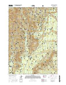
2017 Map of Union Creek
USGS Topo · Published 2017About this map
The Union Creek settlement serves as the central hub of this Jackson County map, situated at the confluence of several forest routes and waterways. The area is defined by the high-elevation terrain of the Umpqua National Forest and Rogue River National Forest, where the Rogue River flows through prominent geographical landmarks. Notable river features include the Big Bend and the Natural Bridge, reflecting the unique volcanic and geological character of this part of the Cascades. Significant peaks such as Wolf Peak, Mt Stella, and Anderson Mtn anchor the landscape, while a dense network of forest development roads, such as Huckleberry Rd and Woodruff Creek Rd, suggests a region deeply involved in forestry and seasonal recreation. The historical route of the Old Diamond Lake Hwy provides a window into the evolution of mountain travel in southern Oregon.
Find a feature on this map
54 named features on this map. Tap any name to fly to it.
Don’t see what you’re looking for? This feature index may not catch every label — zoom into the map to look around manually.
Map Details
Editions of this 2017 Union Creek Map
This is the sole edition of this map. No revisions or reprints were ever made.
Other maps of this area
1891 · Ashland
USGS Topo · 1:250,000
1893 · Ashland
USGS Topo · 1:250,000
1897 · Ashland
USGS Topo · 1:250,000
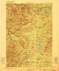
1917 · Diamond Lake
USGS Topo · 1:125,000
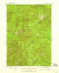
1944 · Abbott Butte
USGS Topo · 1:62,500
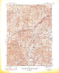
1947 · Abbott Butte
USGS Topo · 1:62,500
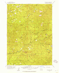
1955 · Quartz Mtn
USGS Topo · 1:62,500

1955 · Medford
USGS Topo · 1:250,000
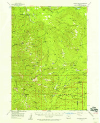
1956 · Garwood Butte
USGS Topo · 1:62,500
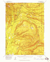
1956 · Prospect
USGS Topo · 1:62,500