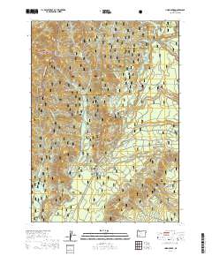
2020 Map of Union Creek
USGS Topo · Published 2020About this map
Union Creek sits at the heart of this forest-dominated landscape, serving as a primary point of human activity along the Upper Rogue River. The river's powerful course through the Rogue River National Forest has carved out remarkable geological formations, most notably the Rogue Gorge and the Natural Bridge, where the water ducks beneath ancient lava tubes. The surrounding terrain is defined by significant elevations such as Mt Stella, Wolf Peak, and Anderson Mtn, while the Rogue Umpqua Divide marks a high boundary in the northwest corner. This area serves as a junction for varied recreational uses, from the Golden Stairs Motorcycle trail to specialized paths like the Nordic Ohv and the Pipeline Snowmo Trail. The map details a complex network of forest roads and off-highway vehicle routes including Discovery Ohv and Hershberger Ohv, illustrating the modern management and accessibility of the Umpqua National Forest.
Find a feature on this map
45 named features on this map. Tap any name to fly to it.
Don’t see what you’re looking for? This feature index may not catch every label — zoom into the map to look around manually.
Map Details
Editions of this 2020 Union Creek Map
This is the sole edition of this map. No revisions or reprints were ever made.
Other maps of this area
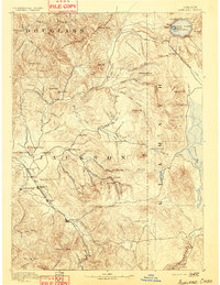
1891 · Ashland
USGS Topo · 1:250,000
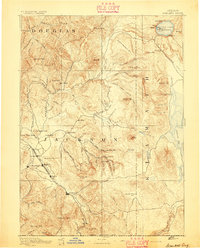
1893 · Ashland
USGS Topo · 1:250,000
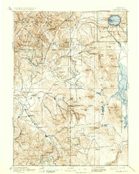
1897 · Ashland
USGS Topo · 1:250,000
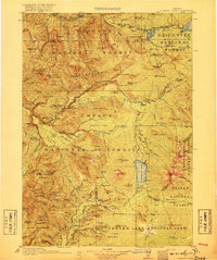
1917 · Diamond Lake
USGS Topo · 1:125,000
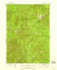
1944 · Abbott Butte
USGS Topo · 1:62,500
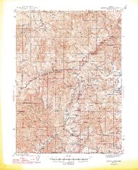
1947 · Abbott Butte
USGS Topo · 1:62,500
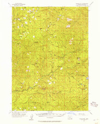
1955 · Quartz Mtn
USGS Topo · 1:62,500

1955 · Medford
USGS Topo · 1:250,000
1956 · Garwood Butte
USGS Topo · 1:62,500
1956 · Prospect
USGS Topo · 1:62,500