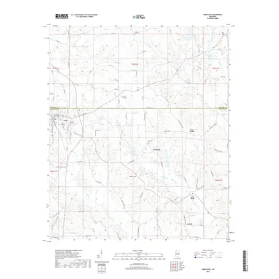
2018 Map of Union East
USGS Topo · Published 2018About this map
Union serves as the primary hub at the western edge of this 2018 survey, situated where the border of Neshoba Co and Newton Co meets. The landscape is defined by the headwaters of numerous small waterways, including Fulton Cr in the north and the upper reaches of Chunky Cr in the south. The rural character of the region is punctuated by long-established communities like Little Rock, Greenland, and Beulah, each serving as focal points for the surrounding agricultural and timber lands.
Find a feature on this map
106 named features on this map. Tap any name to fly to it.
Don’t see what you’re looking for? This feature index may not catch every label — zoom into the map to look around manually.
Map Details
Editions of this 2018 Union East Map
This is the sole edition of this map. No revisions or reprints were ever made.
Other maps of this area

1953 · Meridian
USGS Topo · 1:250,000

1957 · Meridian
USGS Topo · 1:250,000

1957 · Chunky
USGS Topo · 1:62,500

1962 · House
USGS Topo · 1:24,000

1962 · Post
USGS Topo · 1:24,000

1965 · Meridian
USGS Topo · 1:250,000

1966 · Decatur NW
USGS Topo · 1:24,000

1966 · Decatur
USGS Topo · 1:24,000

1972 · Deemer
USGS Topo · 1:24,000

1972 · Union East
USGS Topo · 1:24,000