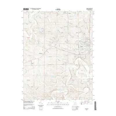
2015 Map of Union
USGS Topo · Published 2015About this map
The Bourbeuse River snakes through the southern reaches of this Franklin County landscape, while the city of Union serves as the focal point for settlement and transportation. This mid-2010s survey reveals a dense concentration of historical burial grounds and religious sites, such as the United Church of Christ Cemetery and Saint Pauls Cemetery, reflecting the deep-rooted community history of the area. The northern terrain is defined by several watercourses including Saint Johns Creek and Whisky Creek, while the Union Pacific railroad corridor underscores the region's enduring role as a transit hub. Moving outward from the center, the landscape transitions into the small communities of Krakow, Jeffriesburg, and Neier, which are connected by a network of rural routes like Jeffriesburg Road. Notable local landmarks like the Zion School and the Post Office highlight the established social infrastructure of this Missouri region.
Find a feature on this map
207 named features on this map. Tap any name to fly to it.
Don’t see what you’re looking for? This feature index may not catch every label — zoom into the map to look around manually.
Map Details
Editions of this 2015 Union Map
This is the sole edition of this map. No revisions or reprints were ever made.
Other maps of this area

1890 · Hermann
USGS Topo · 1:125,000

1901 · De Soto
USGS Topo · 1:125,000

1903 · O'Fallon
USGS Topo · 1:125,000

1903 · Sullivan
USGS Topo · 1:125,000

1946 · Union
USGS Topo · 1:62,500

1947 · St. Clair
USGS Topo · 1:62,500

1948 · Union
USGS Topo · 1:62,500

1948 · Washington
USGS Topo · 1:62,500

1948 · Augusta
USGS Topo · 1:62,500

1949 · Saint Louis
USGS Topo · 1:250,000