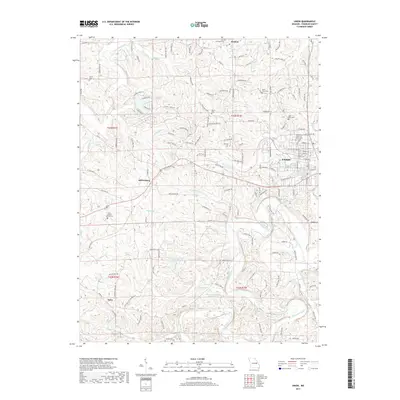
2017 Map of Union
USGS Topo · Published 2017About this map
The Bourbeuse River winds through the southern portion of this Franklin County landscape, shaping the local topography as it flows past established rural communities. The city of Union serves as the central hub, surrounded by smaller historical settlements including Jeffriesburg, Krakow, and Neier. The area is notably defined by its religious and commemorative heritage, with numerous sites such as Saint Jordans Church Cem and Saint Gertrude Cem anchoring the community's genealogy.
Find a feature on this map
142 named features on this map. Tap any name to fly to it.
Don’t see what you’re looking for? This feature index may not catch every label — zoom into the map to look around manually.
Map Details
Editions of this 2017 Union Map
This is the sole edition of this map. No revisions or reprints were ever made.
Other maps of this area

1890 · Hermann
USGS Topo · 1:125,000

1901 · De Soto
USGS Topo · 1:125,000

1903 · O'Fallon
USGS Topo · 1:125,000

1903 · Sullivan
USGS Topo · 1:125,000

1946 · Union
USGS Topo · 1:62,500

1947 · St. Clair
USGS Topo · 1:62,500

1948 · Union
USGS Topo · 1:62,500

1948 · Washington
USGS Topo · 1:62,500

1948 · Augusta
USGS Topo · 1:62,500

1949 · Saint Louis
USGS Topo · 1:250,000