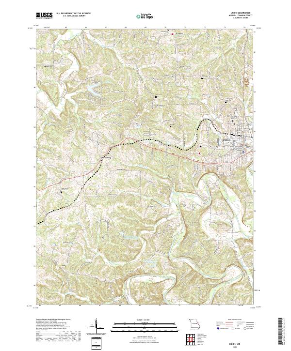
2021 Map of Union
USGS Topo · Published 2021About this map
The Bourbeuse River winds through the southern portion of this Missouri landscape, anchoring a region defined by scattered agricultural settlements and local civic hubs. The city of Union serves as a focal point, where the Franklin County Judicial Center and numerous community cemeteries reflect the area's role as a county seat and historical gathering place. Surrounding the urban center are smaller rural communities like Jeffriesburg, Krakow, and Neier, which are connected by a network of local roads such as HWY Uu and Reiker Ford Rd.
Find a feature on this map
152 named features on this map. Tap any name to fly to it.
Don’t see what you’re looking for? This feature index may not catch every label — zoom into the map to look around manually.
Map Details
Editions of this 2021 Union Map
This is the sole edition of this map. No revisions or reprints were ever made.
Other maps of this area

1890 · Hermann
USGS Topo · 1:125,000

1901 · De Soto
USGS Topo · 1:125,000

1903 · O'Fallon
USGS Topo · 1:125,000

1903 · Sullivan
USGS Topo · 1:125,000

1946 · Union
USGS Topo · 1:62,500

1947 · St. Clair
USGS Topo · 1:62,500

1948 · Union
USGS Topo · 1:62,500

1948 · Washington
USGS Topo · 1:62,500

1948 · Augusta
USGS Topo · 1:62,500

1949 · Saint Louis
USGS Topo · 1:250,000