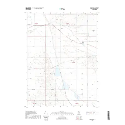
2018 Map of Union Grove
USGS Topo · Published 2018About this map
Union Grove sits at the intersection of a sprawling rural road network and the upper reaches of Cattail Cr, a landscape defined by its agricultural heritage and natural drainage systems. This 2018 survey detail shows a region heavily patterned by the Public Land Survey System, with township lines like t21n r4e and t22n r4e framing the rolling prairie. Settlement clusters are concentrated around Union Grove and the community of Garden Plain, which preserves its local history through the Garden Plain Cem. To the north, Cattail Slough and Spring Brook reflect the hydraulic character of Whiteside County, where small waterways carve through the terrain. The presence of Cotton Wood Cem near Lincoln RD provides a specific point of interest for genealogists tracing early families in these agrarian townships.
Find a feature on this map
46 named features on this map. Tap any name to fly to it.
Don’t see what you’re looking for? This feature index may not catch every label — zoom into the map to look around manually.
Map Details
Editions of this 2018 Union Grove Map
This is the sole edition of this map. No revisions or reprints were ever made.
Other maps of this area
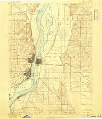
1891 · Clinton
USGS Topo · 1:62,500
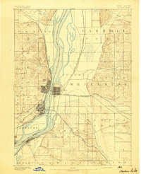
1894 · Clinton
USGS Topo · 1:62,500
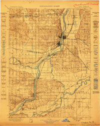
1899 · Clinton
USGS Topo · 1:125,000
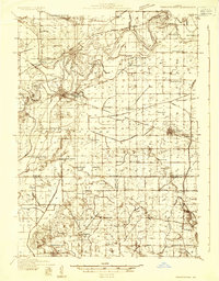
1932 · Prophetstown
USGS Topo · 1:48,000
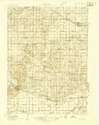
1934 · Morrison
USGS Topo · 1:48,000
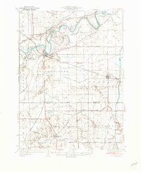
1936 · Prophetstown
USGS Topo · 1:62,500
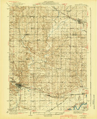
1940 · Morrison
USGS Topo · 1:62,500
1952 · Erie
USGS Topo · 1:62,500
1952 · Clinton
USGS Topo · 1:62,500
1953 · Clinton
USGS Topo · 1:24,000