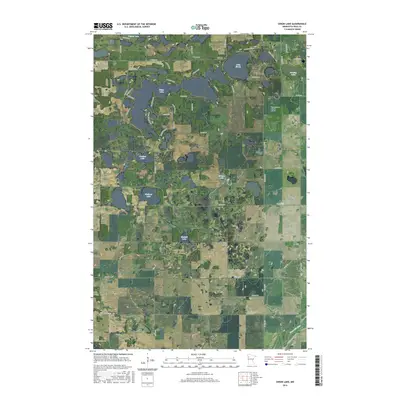
2016 Map of Union Lake
USGS Topo · Published 2016About this map
Union Lake and its neighboring glacial waters dominate this Polk County landscape, revealing a pocket of rural Minnesota defined by its wetlands and small family cemeteries. The terrain is dotted with significant local landmarks like Bailey Cem, Lima Cem, and Union Lake Cem, providing essential touchstones for genealogical research in this part of the state. Settlement patterns follow the irregular shorelines of Lake Sarah and Bradley Lake, where residential roads like N Shore Dr SE and Sunset Shores Rd SE weave through the lakefront properties.
Find a feature on this map
42 named features on this map. Tap any name to fly to it.
Don’t see what you’re looking for? This feature index may not catch every label — zoom into the map to look around manually.
Map Details
Editions of this 2016 Union Lake Map
This is the sole edition of this map. No revisions or reprints were ever made.
Other maps of this area
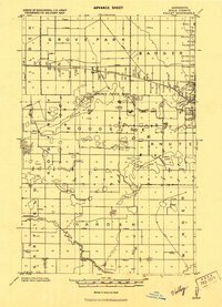
1919 · Valley
USGS Topo · 1:62,500
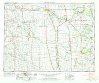
1952 · Grand Forks
USGS Topo · 1:250,000

1954 · Bemidji
USGS Topo · 1:250,000
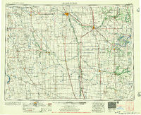
1956 · Grand Forks
USGS Topo · 1:250,000

1957 · Bemidji
USGS Topo · 1:250,000

1958 · Bemidji
USGS Topo · 1:250,000
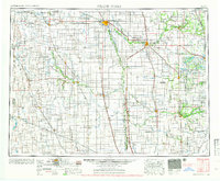
1966 · Grand Forks
USGS Topo · 1:250,000
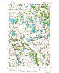
1966 · Halverson Lake
USGS Topo · 1:24,000
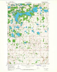
1966 · Union Lake
USGS Topo · 1:24,000
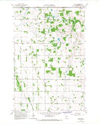
1966 · Ranum
USGS Topo · 1:24,000