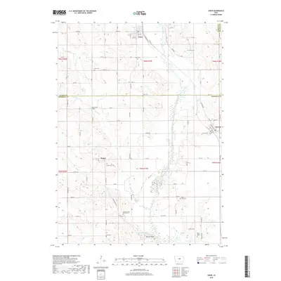
2018 Map of Union
USGS Topo · Published 2018About this map
Union stands at the northern edge of this Iowa landscape, where the Iowa River winds southward through a corridor of wooded bluffs and agricultural tracts. The terrain is defined by a series of drainages, including Honey Cr and Mud Cr, which cut through the uplands between the larger river valley and the prominent Mormon Ridge to the south. This area at the border of Hardin and Marshall counties preserves a dense network of local history, visible in the numerous small burial sites that dot the countryside. Researchers will find several family-named landmarks and resting places, such as the Whitaker Family Burial Ground and Gaer Ballard Cem. Smaller settlements like Bangor and Liscomb anchor the rural road network, while the crossing at Honey Creek Bridge indicates the established transport patterns of the region. The map highlights a landscape of steady, long-term settlement where geographic features like Mormon Lake and the river banks continue to shape the local community.
Find a feature on this map
56 named features on this map. Tap any name to fly to it.
Don’t see what you’re looking for? This feature index may not catch every label — zoom into the map to look around manually.
Map Details
Editions of this 2018 Union Map
This is the sole edition of this map. No revisions or reprints were ever made.
Other maps of this area
1954 · Waterloo
USGS Topo · 1:250,000
1955 · Waterloo
USGS Topo · 1:250,000
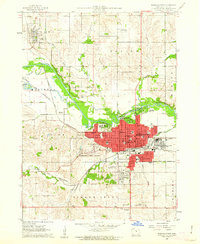
1960 · Marshalltown
USGS Topo · 1:24,000
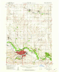
1960 · Marshalltown
USGS Topo · 1:62,500
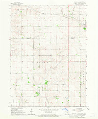
1960 · Conrad West
USGS Topo · 1:24,000
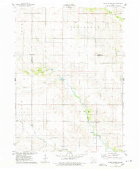
1975 · State Center NW
USGS Topo · 1:24,000
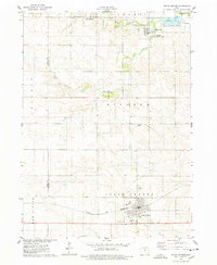
1975 · State Center
USGS Topo · 1:24,000
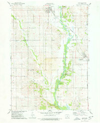
1975 · Union
USGS Topo · 1:24,000
1975 · La Moille
USGS Topo · 1:24,000
1979 · New Providence
USGS Topo · 1:24,000