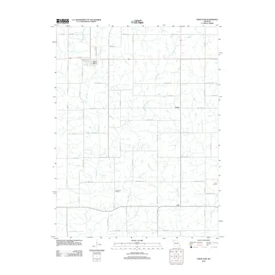
2012 Map of Union Star
USGS Topo · Published 2012About this map
Union Star serves as the primary hub in this Missouri landscape, which is defined by a dense grid of rural roads and agricultural plots at the start of the 2010s. The terrain is deeply carved by a network of waterways including Third Fork, Crooked Creek, and Morgan Branch, which dictate the placement of local homesteads and crossroads. The presence of smaller named points such as Orchid and Oak indicates the persistence of community identifiers in an area otherwise characterized by systematic road naming, such as NW Gospel Rd and NW Fairmount Rd. Genealogists will find particular value in the clearly marked Union Chapel Cemetery and Sharp Cemetery, which provide specific points of reference for local family history research within the broader township.
Find a feature on this map
44 named features on this map. Tap any name to fly to it.
Don’t see what you’re looking for? This feature index may not catch every label — zoom into the map to look around manually.
Map Details
Editions of this 2012 Union Star Map
This is the sole edition of this map. No revisions or reprints were ever made.
Other maps of this area

1923 · Clarksdale
USGS Topo · 1:62,500

1923 · Maysville
USGS Topo · 1:62,500

1925 · Clarksdale
USGS Topo · 1:62,500

1925 · Stanberry
USGS Topo · 1:62,500

1925 · Maysville
USGS Topo · 1:62,500

1925 · Darlington
USGS Topo · 1:62,500

1939 · Stanberry
USGS Topo · 1:62,500

1943 · Stanberry
USGS Topo · 1:62,500

1950 · Kansas City
USGS Topo · 1:250,000

1950 · Darlington
USGS Topo · 1:62,500