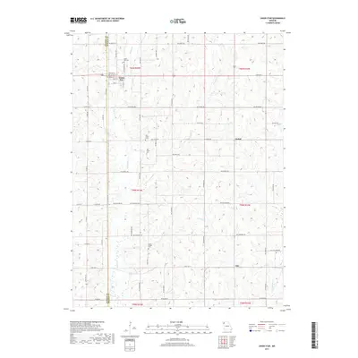
2017 Map of Union Star
USGS Topo · Published 2017About this map
Union Star serves as the primary hub of this agricultural region, situated along the county line where Andrew Co and DeKalb Co meet. The town's grid is clearly defined by streets such as College St, Walnut ST, and Cedar St, reflecting a classic Midwestern settlement pattern. Outside the town center, the landscape is divided into a geometric grid of rural routes like NW Polk Rd and NW Taylor Rd, connecting smaller named locales including Orchid and Oak.
Find a feature on this map
61 named features on this map. Tap any name to fly to it.
Don’t see what you’re looking for? This feature index may not catch every label — zoom into the map to look around manually.
Map Details
Editions of this 2017 Union Star Map
This is the sole edition of this map. No revisions or reprints were ever made.
Other maps of this area
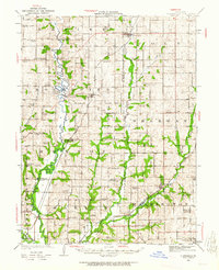
1923 · Clarksdale
USGS Topo · 1:62,500
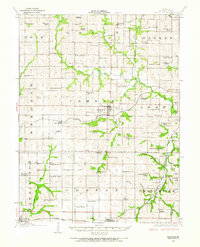
1923 · Maysville
USGS Topo · 1:62,500
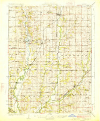
1925 · Clarksdale
USGS Topo · 1:62,500
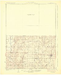
1925 · Stanberry
USGS Topo · 1:62,500
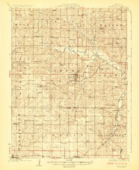
1925 · Maysville
USGS Topo · 1:62,500
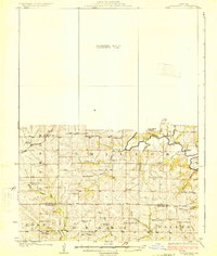
1925 · Darlington
USGS Topo · 1:62,500
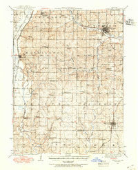
1939 · Stanberry
USGS Topo · 1:62,500
1943 · Stanberry
USGS Topo · 1:62,500
1950 · Kansas City
USGS Topo · 1:250,000
1950 · Darlington
USGS Topo · 1:62,500