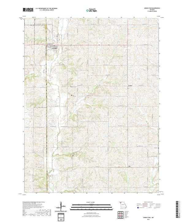
2021 Map of Union Star
USGS Topo · Published 2021About this map
Union Star sits at the intersection of local commerce and agriculture in this Missouri landscape, situated right on the border of Andrew Co and DeKalb Co. The town's grid, featuring streets like College St and Walnut St, serves as the primary hub for a surrounding countryside defined by its complex drainage network. The Third Fork river and its tributaries, including Crooked Cr and Morgan Br, carve through the terrain, dictating the layout of rural roads such as NW Gospel Rd and NW Stewart Rd.
Find a feature on this map
58 named features on this map. Tap any name to fly to it.
Don’t see what you’re looking for? This feature index may not catch every label — zoom into the map to look around manually.
Map Details
Editions of this 2021 Union Star Map
This is the sole edition of this map. No revisions or reprints were ever made.
Other maps of this area

1923 · Clarksdale
USGS Topo · 1:62,500

1923 · Maysville
USGS Topo · 1:62,500

1925 · Clarksdale
USGS Topo · 1:62,500

1925 · Stanberry
USGS Topo · 1:62,500

1925 · Maysville
USGS Topo · 1:62,500

1925 · Darlington
USGS Topo · 1:62,500

1939 · Stanberry
USGS Topo · 1:62,500

1943 · Stanberry
USGS Topo · 1:62,500

1950 · Kansas City
USGS Topo · 1:250,000

1950 · Darlington
USGS Topo · 1:62,500