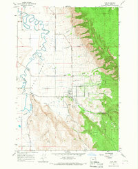
1994 Map of Union
USGS Topo · Published 1994About this map
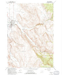
Union sits at the eastern edge of the Grande Ronde Valley, serving as a transition point between the flat agricultural lands and the rising slopes of High Valley and Clark Mountain. This 1994 revision traces the town's established infrastructure, including the Eastern Oregon Livestock Exhibition Grounds, the High Sch, and the local Cem. The landscape is defined by the drainage systems of Catherine Creek and Little Catherine Creek, which cut through the uplifted terrain to the southeast.
Find a feature on this map
19 named features on this map. Tap any name to fly to it.
Don’t see what you’re looking for? This feature index may not catch every label — zoom into the map to look around manually.
Map Details
Editions of this 1994 Union Map
This is the sole edition of this map. No revisions or reprints were ever made.
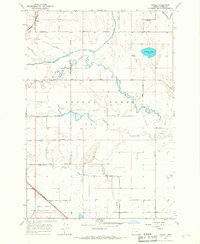
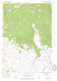
Other maps of this area

1906 · Telocaset
USGS Topo · 1:125,000

1955 · Grangeville
USGS Topo · 1:250,000

1959 · Grangeville
USGS Topo · 1:250,000
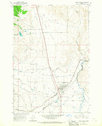
1965 · Conley
USGS Topo · 1:24,000
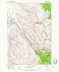
1965 · Union
USGS Topo · 1:24,000
1965 · Medical Springs
USGS Topo · 1:24,000
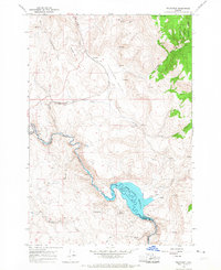
1965 · Cove
USGS Topo · 1:24,000
1965 · North Powder
USGS Topo · 1:24,000
1965 · Little Catherine Creek
USGS Topo · 1:24,000
1965 · Telocaset
USGS Topo · 1:24,000