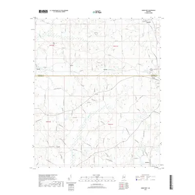
2018 Map of Union West
USGS Topo · Published 2018About this map
Union anchors the southeastern corner of this landscape at the junction of Neshoba and Newton counties. The town is situated just south of the Union Municipal Airport and west of the winding Chunky Cr, which drains the local watershed toward the southeast. The area is characterized by a series of small, dispersed rural settlements such as Neshoba, Stratton, Lucern, and Dover, each connected by a complex network of county roads. For genealogists and local historians, the presence of several community burial sites, including Neshoba Cem, Beech Springs Cem, and Abney Cem, provides valuable markers of family heritage and settlement patterns in this part of Mississippi. The terrain is defined by numerous small watercourses like Sipsey Cr and Conehatta Cr, which dictate the placement of roads and homesteads across the rolling hills.
Find a feature on this map
102 named features on this map. Tap any name to fly to it.
Don’t see what you’re looking for? This feature index may not catch every label — zoom into the map to look around manually.
Map Details
Editions of this 2018 Union West Map
This is the sole edition of this map. No revisions or reprints were ever made.
Other maps of this area

1921 · Forest
USGS Topo · 1:48,000

1922 · Forest
USGS Topo · 1:62,500

1950 · Forest
USGS Topo · 1:62,500

1952 · Forest
USGS Topo · 1:62,500

1953 · Meridian
USGS Topo · 1:250,000

1957 · Meridian
USGS Topo · 1:250,000

1965 · Meridian
USGS Topo · 1:250,000

1966 · Decatur NW
USGS Topo · 1:24,000

1966 · Decatur
USGS Topo · 1:24,000

1972 · Deemer
USGS Topo · 1:24,000