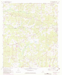
1972 Map of Union West
USGS Topo · Published 1982About this map
Union and the surrounding borderlands of Neshoba and Newton Counties appear here in the early 1970s, defined by a landscape of small settlements and numerous country churches. The Illinois Central Gulf railroad cuts through the terrain, passing north of Barfoot and Dover as it connects the region's commerce. Rural life is anchored by spiritual and community centers like Evans Tabernacle, Hudsons Chapel, and Bluff Springs Ch, while several sandpits dot the area, indicating the local extraction industry of the time.
Find a feature on this map
40 named features on this map. Tap any name to fly to it.
Don’t see what you’re looking for? This feature index may not catch every label — zoom into the map to look around manually.
Map Details
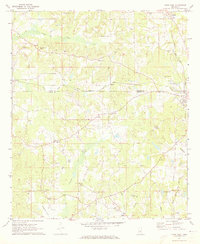
Editions of this 1972 Union West Map
2 editions found
Other maps of this area

1921 · Forest
USGS Topo · 1:48,000

1922 · Forest
USGS Topo · 1:62,500

1950 · Forest
USGS Topo · 1:62,500

1952 · Forest
USGS Topo · 1:62,500

1953 · Meridian
USGS Topo · 1:250,000

1957 · Meridian
USGS Topo · 1:250,000

1965 · Meridian
USGS Topo · 1:250,000

1966 · Decatur NW
USGS Topo · 1:24,000

1966 · Decatur
USGS Topo · 1:24,000

1972 · Deemer
USGS Topo · 1:24,000