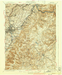
1939 Map of Uniontown
USGS Topo · Published 1939About this map
Uniontown and the surrounding Fayette County landscape reveal an industrial and military corridor shaped by coal, coke, and the historic path of U.S. Route No. 40. This 1930s-era survey documents the heavy industrial footprint of the region, specifically noting the Juniatta Ovens, Oliphant Furnace, and the Dupont Powder Plant. These features, alongside the massive Sylvan Heights Cem and Oak Grove Cem, highlight the densely populated and labor-intensive nature of the North Union and Dunbar townships during the interwar years.
Find a feature on this map
155 named features on this map. Tap any name to fly to it.
Don’t see what you’re looking for? This feature index may not catch every label — zoom into the map to look around manually.
Map Details
Editions of this 1939 Uniontown Map
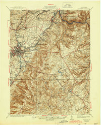
2 editions found
Other maps of this area

1900 · Accident
USGS Topo · 1:62,500

1900 · Uniontown
USGS Topo · 1:62,500

1900 · Masontown
USGS Topo · 1:62,500

1902 · Brownsville
USGS Topo · 1:62,500

1902 · Morgantown
USGS Topo · 1:62,500

1902 · Connellsville
USGS Topo · 1:62,500

1903 · Masontown
USGS Topo · 1:62,500

1904 · Bruceton
USGS Topo · 1:62,500

1906 · Brownsville
USGS Topo · 1:62,500

1922 · Confluence
USGS Topo · 1:62,500
Featured Places
- Uniontown, PA
- South Connellsville, PA
- Dunbar, PA
- Farmington, Wharton Township
- Chalkhill, Wharton Township