
1917 Map of Uniontown
USGS Topo · Published 1917About this map
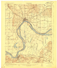
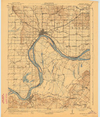
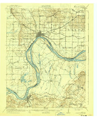
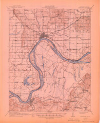
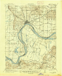
The Ohio River winds through this 1917 survey, defining the border between Indiana and Kentucky and shaping a landscape of fertile lowlands and extensive sloughs. Near the river's bend, Mount Vernon and Uniontown serve as primary hubs, connected by a network of rail lines including the Louisville and Nashville and Illinois Central. The interior of the map reveals a dense distribution of rural infrastructure, particularly the many country schools such as Bethlehem School, Cronback School, and Point School that served farming families in the early twentieth century.
Find a feature on this map
87 named features on this map. Tap any name to fly to it.
Don’t see what you’re looking for? This feature index may not catch every label — zoom into the map to look around manually.
Map Details
Editions of this 1917 Uniontown Map
6 editions found
Other maps of this area

1901 · Haubstadt
USGS Topo · 1:62,500

1903 · Haubstadt
USGS Topo · 1:62,500

1903 · New Harmony
USGS Topo · 1:62,500

1903 · Patoka
USGS Topo · 1:125,000

1905 · New Haven
USGS Topo · 1:62,500

1906 · New Haven
USGS Topo · 1:62,500

1906 · Sebree
USGS Topo · 1:62,500

1907 · Morganfield
USGS Topo · 1:62,500

1914 · Henderson
USGS Topo · 1:48,000

1916 · Shawneetown
USGS Topo · 1:62,500