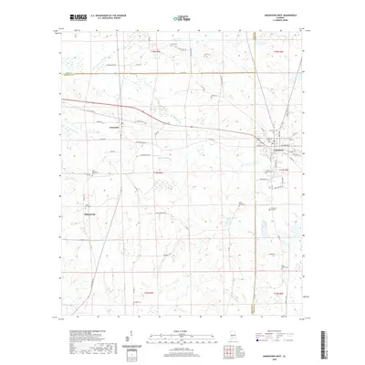
2020 Map of Uniontown West
USGS Topo · Published 2020About this map
Faunsdale and the western edge of Uniontown anchor this Black Belt landscape, where the borders of Marengo, Perry, and Hale counties converge. The geography is defined by a dense concentration of historical burial sites and small rural communities like Siddonsville, connected by a network of older thoroughfares including Old US Hwy 80 and Old AL Hwy 80. These roads trace the path of earlier transit corridors through the agricultural heartland.
Find a feature on this map
70 named features on this map. Tap any name to fly to it.
Don’t see what you’re looking for? This feature index may not catch every label — zoom into the map to look around manually.
Map Details
Editions of this 2020 Uniontown West Map
This is the sole edition of this map. No revisions or reprints were ever made.
Other maps of this area

1953 · Montgomery
USGS Topo · 1:250,000

1956 · Montgomery
USGS Topo · 1:250,000

1957 · Montgomery
USGS Topo · 1:250,000

1968 · Thomaston East
USGS Topo · 1:24,000

1968 · Uniontown West
USGS Topo · 1:24,000

1968 · Uniontown East
USGS Topo · 1:24,000

1968 · Thomaston West
USGS Topo · 1:24,000

1968 · Gallion
USGS Topo · 1:24,000

1968 · Central Mills
USGS Topo · 1:24,000

1979 · Scott Station
USGS Topo · 1:24,000