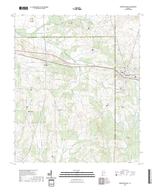
2024 Map of Uniontown West
USGS Topo · Published 2024About this map
The boundary between Marengo Co and Hale Co cuts across this landscape of the Alabama Black Belt, where the transition from open agricultural land to creek-carved bottomlands is clearly visible. The town of Uniontown and the village of Faunsdale serve as the primary hubs, connected by a network of historic thoroughfares including Old AL Hwy 80 and the Old Uniontown Rd. These routes follow the natural topography, linking established settlements to more remote communities like Siddonsville.
Find a feature on this map
80 named features on this map. Tap any name to fly to it.
Don’t see what you’re looking for? This feature index may not catch every label — zoom into the map to look around manually.
Map Details
Editions of this 2024 Uniontown West Map
This is the sole edition of this map. No revisions or reprints were ever made.
Other maps of this area

1953 · Montgomery
USGS Topo · 1:250,000

1956 · Montgomery
USGS Topo · 1:250,000

1957 · Montgomery
USGS Topo · 1:250,000

1968 · Thomaston East
USGS Topo · 1:24,000

1968 · Uniontown West
USGS Topo · 1:24,000

1968 · Uniontown East
USGS Topo · 1:24,000

1968 · Thomaston West
USGS Topo · 1:24,000

1968 · Gallion
USGS Topo · 1:24,000

1968 · Central Mills
USGS Topo · 1:24,000

1979 · Scott Station
USGS Topo · 1:24,000