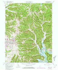
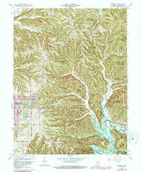
1966 Map of Unionville
USGS Topo · Published 1981About this map
Unionville and its surrounding countryside are documented during a period of transition, as the outskirts of Bloomington began to expand eastward through Eastern Heights and toward Hoosier Acres. This landscape is defined by the high ridges and deep hollows of the Morgan-Monroe State Forest, where numerous Gas Wells suggest a history of resource extraction tucked into the timber. The development of regional water infrastructure is evident, with the northern edge touching Lake Lemon and the southern reach defined by the Monroe Lake reservoir along the North Fork Salt Creek.
Find a feature on this map
65 named features on this map. Tap any name to fly to it.
Don’t see what you’re looking for? This feature index may not catch every label — zoom into the map to look around manually.
Map Details
Editions of this 1966 Unionville Map
5 editions found
Other maps of this area

1908 · Bloomington
USGS Topo · 1:48,000

1910 · Bloomington
USGS Topo · 1:62,500

1942 · Franklin
USGS Topo · 1:125,000

1946 · Belmont
USGS Topo · 1:24,000

1947 · Allens Creek
USGS Topo · 1:24,000

1947 · Unionville
USGS Topo · 1:24,000

1947 · Elkinsville
USGS Topo · 1:24,000

1948 · Hindustan
USGS Topo · 1:24,000

1948 · Morgantown
USGS Topo · 1:24,000

1950 · Belmont
USGS Topo · 1:24,000