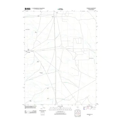
2011 Map of Unionville
USGS Topo · Published 2011About this map
Unionville sits at the base of the Humboldt Range in Pershing County, serving as a primary point of interest in this high desert landscape. The town, which includes the Unionville Post Office, is linked to the wider region by the historic Old Emigrant Trl and Old Unionville Rd. The map illustrates a network of scattered agricultural outposts, such as Coyote Ranch, Frendesen Ranch, and Davidson Ranch, which are positioned near drainage points and canyons.
Find a feature on this map
24 named features on this map. Tap any name to fly to it.
Don’t see what you’re looking for? This feature index may not catch every label — zoom into the map to look around manually.
Map Details
Editions of this 2011 Unionville Map
This is the sole edition of this map. No revisions or reprints were ever made.
Other maps of this area

1931 · Lovelock
USGS Topo · 1:250,000

1932 · Sonoma Range
USGS Topo · 1:250,000

1935 · Lovelock
USGS Topo · 1:250,000

1939 · Sonoma Range
USGS Topo · 1:250,000

1954 · Unionville
USGS Topo · 1:62,500

1955 · Lovelock
USGS Topo · 1:250,000

1955 · Winnemucca
USGS Topo · 1:250,000

1956 · Imlay
USGS Topo · 1:62,500

1958 · Winnemucca
USGS Topo · 1:250,000

1959 · Lovelock
USGS Topo · 1:250,000