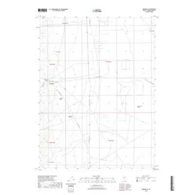
2018 Map of Unionville
USGS Topo · Published 2018About this map
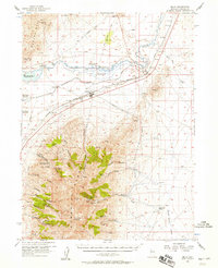
Unionville sits at the base of a canyon system where the mountains meet the expansive Buena Vista Valley. This Nevada settlement is a gateway to numerous drainages including Peru Canyon, Buena Vista Canyon, and Jackson Canyon, illustrating a classic Great Basin topographic pattern where seasonal water and canyon access dictated development. Modern transport via State Hwy 400 and the Lovelock-Unionville Rd intersects with deep historical routes like the Old Emigrant Rd, which skirts the western edge of the valley. Notable water sources such as Harrison Spring and intermittent streams like Cottonwood Cr provide rare points of relief in this arid landscape. The map captures the intersection of early pioneer pathways and the modern rural infrastructure required to manage the vast high-desert basins of Pershing County.
Find a feature on this map
27 named features on this map. Tap any name to fly to it.
Don’t see what you’re looking for? This feature index may not catch every label — zoom into the map to look around manually.
Map Details
Editions of this 2018 Unionville Map
This is the sole edition of this map. No revisions or reprints were ever made.
Other maps of this area

1931 · Lovelock
USGS Topo · 1:250,000
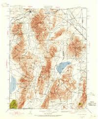
1932 · Sonoma Range
USGS Topo · 1:250,000

1935 · Lovelock
USGS Topo · 1:250,000
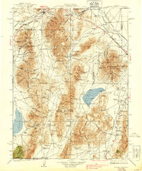
1939 · Sonoma Range
USGS Topo · 1:250,000
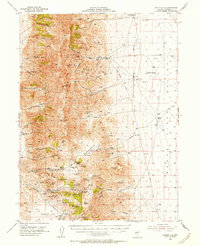
1954 · Unionville
USGS Topo · 1:62,500

1955 · Lovelock
USGS Topo · 1:250,000

1955 · Winnemucca
USGS Topo · 1:250,000
1956 · Imlay
USGS Topo · 1:62,500

1958 · Winnemucca
USGS Topo · 1:250,000

1959 · Lovelock
USGS Topo · 1:250,000