2023 Map of Unity
USGS Topo · Published 2023About this map
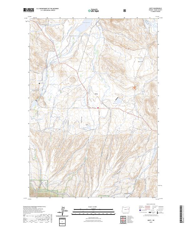
Unity sits at the heart of the Burnt River Valley, where the managed waters of the South Fork Burnt River sustain a network of irrigation ditches essential to this high-desert agricultural landscape. The township is oriented around Main St and S 1st Ave, with the nearby Unity Cem providing a genealogical anchor for local families. The importance of water management in this Baker County region is evidenced by the numerous engineered features, including the Unity Reservoir, Morfitt Reservoir, and historical conduits such as Wham Whited Ditch and Tiger Ditch. To the south, the terrain rises into the Whitman National Forest, where the landscape shifts from the open grazing of Murray Pasture and Denny Flat to the drainage basins of Bullrun Creek and Shirts Creek. The map documents a complex rural infrastructure of private logging roads and forest service trails, illustrating the intersection of timber, ranching, and water rights.
Find a feature on this map
52 named features on this map. Tap any name to fly to it.
Don’t see what you’re looking for? This feature index may not catch every label — zoom into the map to look around manually.
Map Details
Editions of this 2023 Unity Map
This is the sole edition of this map. No revisions or reprints were ever made.
