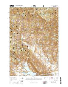
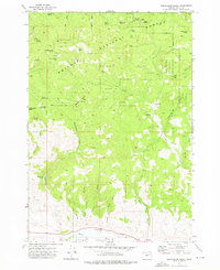
2014 Map of Unity Reservoir
USGS Topo · Published 2014About this map
Whitman National Forest dominates this Baker County landscape, where the managed timberlands give way to a sophisticated system of high-desert water management. The terrain is defined by the convergence of the Middle Fork Burnt River and the N Fork Burnt River, eventually feeding into the Unity Reservoir. This network of vital waterways is supplemented by man-made engineering like the Big Flat Ditch and China Cr Ditch, which divert mountain runoff toward the agricultural flats. Genealogists and local historians can locate the Big Flat Cem near Head Meadow, a small burial ground situated between Big Flat and the foothills of King Mtn. The map also captures the path of the Whitney Rd as it winds through the gulches, tracing the transit routes that connected this mountain interior to the regional economy of the early 21st century.
Find a feature on this map
57 named features on this map. Tap any name to fly to it.
Don’t see what you’re looking for? This feature index may not catch every label — zoom into the map to look around manually.
Map Details
Editions of this 2014 Unity Reservoir Map
This is the sole edition of this map. No revisions or reprints were ever made.
Other maps of this area
1901 · Sumpter
USGS Topo · 1:125,000
1908 · Ironside Mountain
USGS Topo · 1:125,000

1955 · Canyon City
USGS Topo · 1:250,000

1959 · Canyon City
USGS Topo · 1:250,000
1961 · Whitney
USGS Topo · 1:24,000
1972 · Hereford
USGS Topo · 1:24,000
1972 · Unity
USGS Topo · 1:24,000
1972 · Phillips Lake
USGS Topo · 1:24,000
1972 · Sumpter
USGS Topo · 1:24,000
1972 · Beaverdam Creek
USGS Topo · 1:24,000