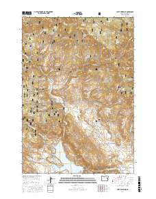
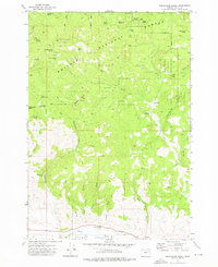
2017 Map of Unity Reservoir
USGS Topo · Published 2017About this map
Unity Reservoir serves as a central hydrological point in this Baker County landscape, where the Middle Fork Burnt River and several drainage systems converge. The area is characterized by an extensive network of irrigation infrastructure, including the Big Flat Ditch, Thompson Ditch, and China Cr Ditch, reflecting the region's managed water resources for high-altitude grazing and agriculture. Small settlements like Big Flat and Head Meadow appear alongside the historical Big Flat Cem, providing specific points of interest for genealogists tracing early families in the Burnt River valley.
Find a feature on this map
64 named features on this map. Tap any name to fly to it.
Don’t see what you’re looking for? This feature index may not catch every label — zoom into the map to look around manually.
Map Details
Editions of this 2017 Unity Reservoir Map
This is the sole edition of this map. No revisions or reprints were ever made.
Other maps of this area
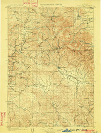
1901 · Sumpter
USGS Topo · 1:125,000
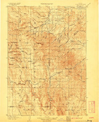
1908 · Ironside Mountain
USGS Topo · 1:125,000

1955 · Canyon City
USGS Topo · 1:250,000

1959 · Canyon City
USGS Topo · 1:250,000
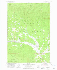
1961 · Whitney
USGS Topo · 1:24,000
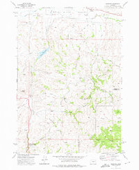
1972 · Hereford
USGS Topo · 1:24,000
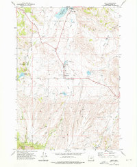
1972 · Unity
USGS Topo · 1:24,000
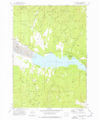
1972 · Phillips Lake
USGS Topo · 1:24,000
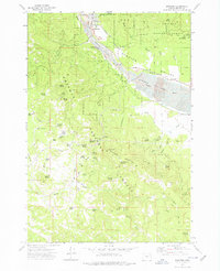
1972 · Sumpter
USGS Topo · 1:24,000
1972 · Beaverdam Creek
USGS Topo · 1:24,000