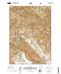
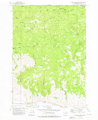
2020 Map of Unity Reservoir
USGS Topo · Published 2020About this map
Unity Reservoir and the winding course of the Burnt River dominate the southern landscape of this Baker County territory. The terrain is defined by a sophisticated system of water management, where the Big Flat Ditch, Thompson Ditch, and High Line Ditch trace the contours of the land to support local agriculture and ranching. To the north, the protected lands of the Whitman National Forest rise toward King Mtn and Cottonwood Buttes, revealing a wilderness dotted with numerous named springs such as China Creek Spring and Derringer Spring.
Find a feature on this map
61 named features on this map. Tap any name to fly to it.
Don’t see what you’re looking for? This feature index may not catch every label — zoom into the map to look around manually.
Map Details
Editions of this 2020 Unity Reservoir Map
This is the sole edition of this map. No revisions or reprints were ever made.
Other maps of this area
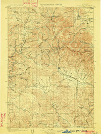
1901 · Sumpter
USGS Topo · 1:125,000
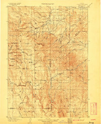
1908 · Ironside Mountain
USGS Topo · 1:125,000

1955 · Canyon City
USGS Topo · 1:250,000

1959 · Canyon City
USGS Topo · 1:250,000
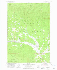
1961 · Whitney
USGS Topo · 1:24,000
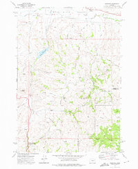
1972 · Hereford
USGS Topo · 1:24,000
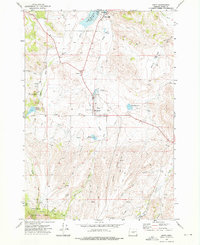
1972 · Unity
USGS Topo · 1:24,000
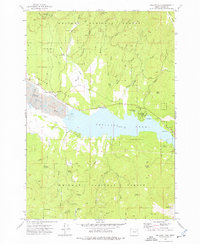
1972 · Phillips Lake
USGS Topo · 1:24,000
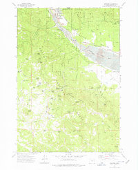
1972 · Sumpter
USGS Topo · 1:24,000
1972 · Beaverdam Creek
USGS Topo · 1:24,000