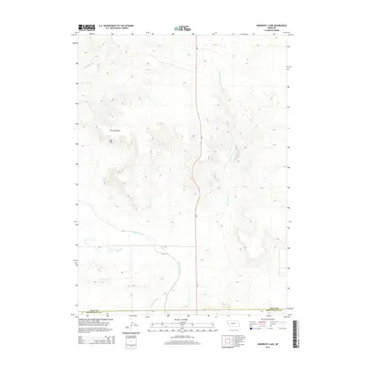
2014 Map of University Lake
USGS Topo · Published 2014About this map
University Lake and the engineering of the Interstate Canal define this high plains landscape along the border of Sioux and Scotts Bluff counties. This 2014 survey captures a sophisticated network of water management essential to the region's agricultural viability, notably the Lateral 21 Main and various smaller irrigation channels. The terrain transitions from the structured canal paths in the south to the more complex topography of the north, where natural drainages like Wind Springs Cr and Spottedtail Cr carve through the land. Two distinctive landforms, The Horseshoe and The Hat, serve as prominent landmarks for navigation in an area otherwise dominated by the steady elevation changes of the Nebraska panhandle. This map serves as a detailed record of how modern infrastructure and natural watercourses coexist in the Sheep Creek Precinct.
Find a feature on this map
14 named features on this map. Tap any name to fly to it.
Don’t see what you’re looking for? This feature index may not catch every label — zoom into the map to look around manually.
Map Details
Editions of this 2014 University Lake Map
This is the sole edition of this map. No revisions or reprints were ever made.
Other maps of this area
1898 · Scotts Bluff
USGS Topo · 1:125,000
1899 · Whistle Creek
USGS Topo · 1:125,000

1954 · Scottsbluff
USGS Topo · 1:250,000

1955 · Alliance
USGS Topo · 1:250,000

1957 · Alliance
USGS Topo · 1:250,000

1958 · Alliance
USGS Topo · 1:250,000

1958 · Scottsbluff
USGS Topo · 1:250,000
1963 · Mitchell
USGS Topo · 1:24,000
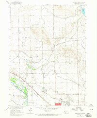
1963 · Scottsbluff North
USGS Topo · 1:24,000
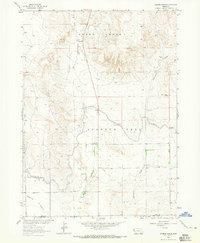
1963 · Erdman Ranch
USGS Topo · 1:24,000