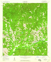
1955 Map of Upatoi
USGS Topo · Published 1959About this map
Fort Benning Military Reservation dominates the southern landscape of this mid-century survey, where the military boundary follows the winding course of Upatoi Creek. The area is a complex intersection of county lines, meeting at the junction of Talbot, Muscogee, Harris, Marion, and Chattahoochee counties. The Central of Georgia railroad provides the primary east-west corridor, connecting the small settlements of Upatoi and Box Springs.
Find a feature on this map
27 named features on this map. Tap any name to fly to it.
Don’t see what you’re looking for? This feature index may not catch every label — zoom into the map to look around manually.
Map Details
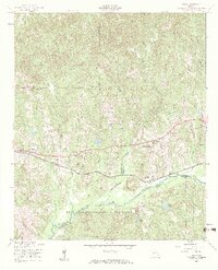
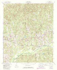
Editions of this 1955 Upatoi Map
3 editions found
Other maps of this area

1907 · Talbotton
USGS Topo · 1:125,000

1908 · Columbus
USGS Topo · 1:62,500

1929 · Columbus
USGS Topo · 1:48,000

1947 · Columbus
USGS Topo · 1:62,500

1949 · Midland
USGS Topo · 1:24,000

1949 · Upatoi
USGS Topo · 1:24,000

1949 · Ochillee
USGS Topo · 1:24,000

1949 · Buena Vista NW
USGS Topo · 1:24,000

1950 · Talbotton
USGS Topo · 1:24,000

1950 · Geneva
USGS Topo · 1:24,000