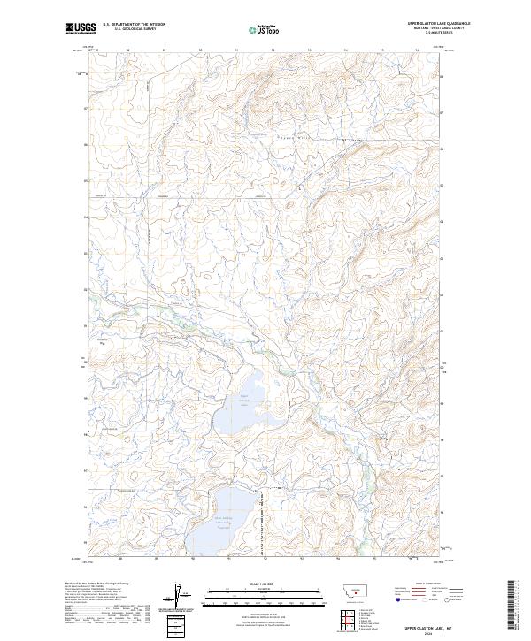
2024 Map of Upper Glaston Lake
USGS Topo · Published 2024About this map
Upper Glaston Lake and the nearby Glass Lindsay Lakes Lower Reservoir anchor this part of Sweet Grass County, where the plains meet the rising slopes of the Cayuse Hills. The landscape is defined by its complex irrigation and water management systems, including the Upper Sweet Grass Canal and Lower Sweet Grass Canal, which draw from the winding course of Sweet Grass Creek. This network of canals and reservoirs indicates a long-established ranching or agricultural economy dependent on diverting seasonal mountain runoff to the drier lowlands.
Find a feature on this map
21 named features on this map. Tap any name to fly to it.
Don’t see what you’re looking for? This feature index may not catch every label — zoom into the map to look around manually.
Map Details
Editions of this 2024 Upper Glaston Lake Map
This is the sole edition of this map. No revisions or reprints were ever made.
Other maps of this area

1889 · Big Snowy Mountain
USGS Topo · 1:250,000

1891 · Big Timber
USGS Topo · 1:125,000

1893 · Big Snowy Mountain
USGS Topo · 1:250,000

1893 · Big Timber
USGS Topo · 1:125,000
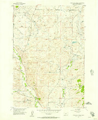
1954 · Otter Creek School
USGS Topo · 1:24,000
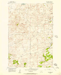
1954 · Ryan Creek
USGS Topo · 1:24,000

1954 · Billings
USGS Topo · 1:250,000

1954 · Roundup
USGS Topo · 1:250,000

1957 · Billings
USGS Topo · 1:250,000
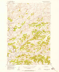
1957 · Sourdough School
USGS Topo · 1:24,000