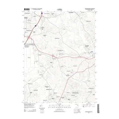
2014 Map of Upper Marlboro
USGS Topo · Published 2014About this map
Westphalia and Upper Marlboro anchor this map of Prince George's County, showing the suburban character and military presence of the region in the early 21st century. The map is defined by the significant footprint of Andrews Air Force Base to the west and the sprawling residential developments like Greenwood Manor, Brock Hall, and Mellwood that have filled in much of the landscape between historical centers.
Find a feature on this map
88 named features on this map. Tap any name to fly to it.
Don’t see what you’re looking for? This feature index may not catch every label — zoom into the map to look around manually.
Map Details
Editions of this 2014 Upper Marlboro Map
This is the sole edition of this map. No revisions or reprints were ever made.
Other maps of this area

1892 · Prince Frederick
USGS Topo · 1:62,500

1892 · Brandywine
USGS Topo · 1:62,500

1892 · Owensville
USGS Topo · 1:62,500

1895 · Prince Frederick
USGS Topo · 1:62,500

1895 · Brandywine
USGS Topo · 1:62,500

1895 · Owensville
USGS Topo · 1:62,500

1899 · Patuxent
USGS Topo · 1:125,000

1900 · Washington
USGS Topo · 1:62,500

1901 · Prince Frederick
USGS Topo · 1:62,500

1905 · Owensville
USGS Topo · 1:62,500