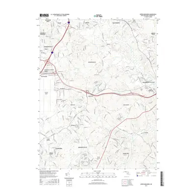
2016 Map of Upper Marlboro
USGS Topo · Published 2016About this map
Upper Marlboro and the surrounding Prince George's County landscape appear in this detailed 2016 survey, reflecting a region where dense suburban corridors meet established agricultural and military footprints. The western edge is dominated by the sprawling infrastructure of Joint Base Andrews Airport, while to the east, the seat of county government maintains its identity at Marlboro Village near Schoolhouse Pond.
Find a feature on this map
74 named features on this map. Tap any name to fly to it.
Don’t see what you’re looking for? This feature index may not catch every label — zoom into the map to look around manually.
Map Details
Editions of this 2016 Upper Marlboro Map
This is the sole edition of this map. No revisions or reprints were ever made.
Other maps of this area

1892 · Prince Frederick
USGS Topo · 1:62,500

1892 · Brandywine
USGS Topo · 1:62,500

1892 · Owensville
USGS Topo · 1:62,500

1895 · Prince Frederick
USGS Topo · 1:62,500

1895 · Brandywine
USGS Topo · 1:62,500

1895 · Owensville
USGS Topo · 1:62,500

1899 · Patuxent
USGS Topo · 1:125,000

1900 · Washington
USGS Topo · 1:62,500

1901 · Prince Frederick
USGS Topo · 1:62,500

1905 · Owensville
USGS Topo · 1:62,500