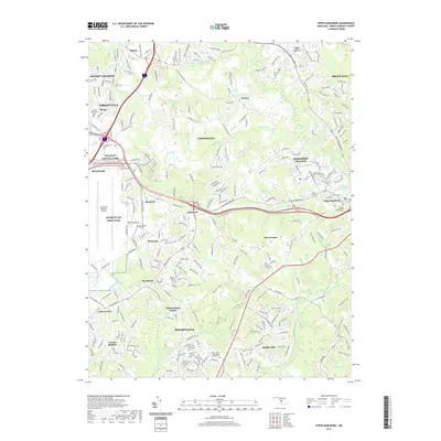
2019 Map of Upper Marlboro
USGS Topo · Published 2019About this map
Joint Base Andrews Airport dominates the western landscape of this Prince George's County survey, illustrating the significant military footprint that shapes the modern character of Andrews Air Force Base. The surrounding geography is a complex mix of dense suburban development and enduring local history, evidenced by numerous burial sites such as the Trinity Episcopal Church Cem and the Church of the Holy Rosary Catholic Cem.
Find a feature on this map
268 named features on this map. Tap any name to fly to it.
Don’t see what you’re looking for? This feature index may not catch every label — zoom into the map to look around manually.
Map Details
Editions of this 2019 Upper Marlboro Map
This is the sole edition of this map. No revisions or reprints were ever made.
Other maps of this area

1892 · Prince Frederick
USGS Topo · 1:62,500

1892 · Brandywine
USGS Topo · 1:62,500

1892 · Owensville
USGS Topo · 1:62,500

1895 · Prince Frederick
USGS Topo · 1:62,500

1895 · Brandywine
USGS Topo · 1:62,500

1895 · Owensville
USGS Topo · 1:62,500

1899 · Patuxent
USGS Topo · 1:125,000

1900 · Washington
USGS Topo · 1:62,500

1901 · Prince Frederick
USGS Topo · 1:62,500

1905 · Owensville
USGS Topo · 1:62,500