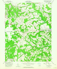
1957 Map of Upper Marlboro
USGS Topo · Published 1964About this map
The University of Maryland Tobacco Experimental Farm and the historic Mt Airy (Custis Birthplace) anchor this mid-century portrait of Prince George's County. In the final years before suburbanization fully transformed the landscape, the area shows a distinct division between the emerging residential developments of District Heights and Forestville in the northwest and the persistent agricultural character near the county seat at Upper Marlboro. The eastern portion of the map is defined by the Western Branch and Southwest Branch, where the Pennsylvania Railroad serves rural outposts like Croom Station. A significant portion of the terrain is occupied by the U S Military Reservation Andrews Air Force Base, which by 1957 had become a dominant geographical feature, contrasting with the nearby quiet landmarks like St Barnabas Ch and the waters of Dower House Pond.
Find a feature on this map
74 named features on this map. Tap any name to fly to it.
Don’t see what you’re looking for? This feature index may not catch every label — zoom into the map to look around manually.
Map Details
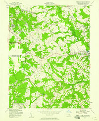
Editions of this 1957 Upper Marlboro Map
2 editions found
Other maps of this area

1892 · Prince Frederick
USGS Topo · 1:62,500

1892 · Brandywine
USGS Topo · 1:62,500

1892 · Owensville
USGS Topo · 1:62,500

1895 · Prince Frederick
USGS Topo · 1:62,500

1895 · Brandywine
USGS Topo · 1:62,500

1895 · Owensville
USGS Topo · 1:62,500

1899 · Patuxent
USGS Topo · 1:125,000

1900 · Washington
USGS Topo · 1:62,500

1901 · Prince Frederick
USGS Topo · 1:62,500

1905 · Owensville
USGS Topo · 1:62,500