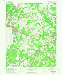
1965 Map of Upper Marlboro
USGS Topo · Published 1966About this map
Andrews Air Force Base dominates the western portion of this 1960s landscape, illustrating the significant military footprint in Prince George's County during the Cold War. To the east, the seat of Upper Marlboro remains the focal point, characterized by its traditional proximity to the Western Branch and landmarks like Schoolhouse Pond. The surrounding countryside reveals a complex network of agricultural and industrial utility, most notably the University of Maryland Tobacco Experimental Farm and numerous gravel pits that underscore the region's extraction and research-based economies.
Find a feature on this map
65 named features on this map. Tap any name to fly to it.
Don’t see what you’re looking for? This feature index may not catch every label — zoom into the map to look around manually.
Map Details
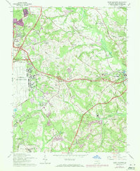
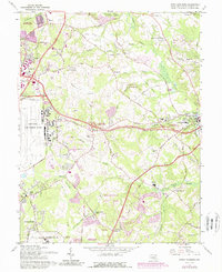
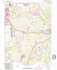
Editions of this 1965 Upper Marlboro Map
5 editions found

Other maps of this area

1892 · Prince Frederick
USGS Topo · 1:62,500

1892 · Brandywine
USGS Topo · 1:62,500

1892 · Owensville
USGS Topo · 1:62,500

1895 · Prince Frederick
USGS Topo · 1:62,500

1895 · Brandywine
USGS Topo · 1:62,500

1895 · Owensville
USGS Topo · 1:62,500

1899 · Patuxent
USGS Topo · 1:125,000

1900 · Washington
USGS Topo · 1:62,500

1901 · Prince Frederick
USGS Topo · 1:62,500

1905 · Owensville
USGS Topo · 1:62,500