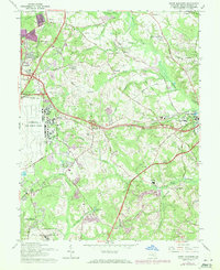
1965 Map of Upper Marlboro
USGS Topo · Published 1971About this map
Upper Marlboro and the expanding suburbs of Prince George's County are captured here during a period of significant post-war transition. The map illustrates the juxtaposition of traditional Maryland agriculture and institutional land use, such as the University of Maryland Tobacco Experimental Farm, against the massive footprint of Andrews Air Force Base. Transportation networks dictate the landscape, from the historic Old Railroad Grade and the Penn Central line to the emerging Capital Beltway and Suitland Parkway. Local community life is grounded in long-standing sites like St Barnabas Ch, Frederick Sasser High Sch, and the Douglass High Sch. The presence of numerous Gravel Pits and the Charles Gravel Pit highlights the local extraction industry supporting the era's rapid regional development.
Find a feature on this map
67 named features on this map. Tap any name to fly to it.
Don’t see what you’re looking for? This feature index may not catch every label — zoom into the map to look around manually.
Map Details
Editions of this 1965 Upper Marlboro Map
5 editions found
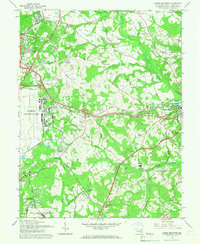

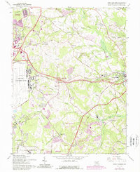
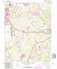
Other maps of this area

1892 · Prince Frederick
USGS Topo · 1:62,500

1892 · Brandywine
USGS Topo · 1:62,500

1892 · Owensville
USGS Topo · 1:62,500

1895 · Prince Frederick
USGS Topo · 1:62,500

1895 · Brandywine
USGS Topo · 1:62,500

1895 · Owensville
USGS Topo · 1:62,500

1899 · Patuxent
USGS Topo · 1:125,000

1900 · Washington
USGS Topo · 1:62,500

1901 · Prince Frederick
USGS Topo · 1:62,500

1905 · Owensville
USGS Topo · 1:62,500