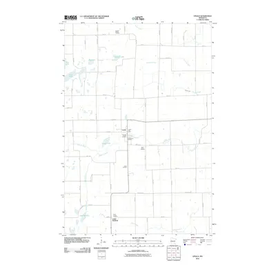
2010 Map of Upsala
USGS Topo · Published 2010About this map
Upsala serves as the primary hub of this central Minnesota landscape, where the local community structure is deeply rooted in its rural cemeteries and small settlements. The town center is marked by the Upsala Post Office and several historic burial grounds, including Covenant Church Cemetery and Gethsemane Cemetery, reflecting the area's denominational heritage. To the south, the village of Saint Francis sits near the Saint Francis Cemetery, illustrating a pattern of dispersed community nodes connected by a strict grid of section-line roads.
Find a feature on this map
64 named features on this map. Tap any name to fly to it.
Don’t see what you’re looking for? This feature index may not catch every label — zoom into the map to look around manually.
Map Details
Editions of this 2010 Upsala Map
This is the sole edition of this map. No revisions or reprints were ever made.
Other maps of this area
1947 · Flensburg
USGS Topo · 1:25,000
1948 · Little Falls
USGS Topo · 1:62,500
1950 · Swanville
USGS Topo · 1:62,500
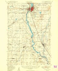
1950 · Little Falls
USGS Topo · 1:62,500
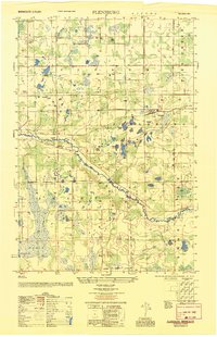
1951 · Flensburg
USGS Topo · 1:25,000

1953 · Saint Cloud
USGS Topo · 1:250,000
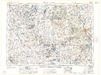
1957 · Saint Cloud
USGS Topo · 1:250,000
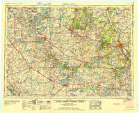
1958 · Saint Cloud
USGS Topo · 1:250,000
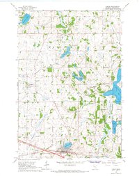
1965 · Albany
USGS Topo · 1:24,000
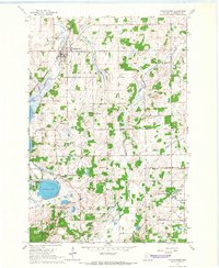
1965 · Holdingford
USGS Topo · 1:24,000