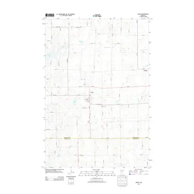
2013 Map of Upsala
USGS Topo · Published 2013About this map
Upsala serves as the central hub for this rural landscape where the Morrison and Stearns County line bisects the southern reaches of the map. This area is defined by its deep spiritual and community roots, evidenced by a high density of rural burial grounds such as Swedish Mission Cem, Covenant Church Cem, and Saint Francis Cem. These sites, along with the Upsala Cem, often indicate the locations of early parish settlements that anchored the farming community. The terrain is a complex network of glacial water bodies and winding streams, including Lake Beautiful, Tamarack Lake, and the branching forks of the N Two River and Little Two River. Further east, the small settlement of Elmdale sits near Elmdale Cr, illustrating the typical Upper Midwest pattern of small-town development along primary drainage ways and local road networks like MN-238.
Find a feature on this map
48 named features on this map. Tap any name to fly to it.
Don’t see what you’re looking for? This feature index may not catch every label — zoom into the map to look around manually.
Map Details
Editions of this 2013 Upsala Map
This is the sole edition of this map. No revisions or reprints were ever made.
Other maps of this area
1947 · Flensburg
USGS Topo · 1:25,000
1948 · Little Falls
USGS Topo · 1:62,500
1950 · Swanville
USGS Topo · 1:62,500
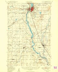
1950 · Little Falls
USGS Topo · 1:62,500
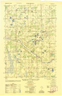
1951 · Flensburg
USGS Topo · 1:25,000

1953 · Saint Cloud
USGS Topo · 1:250,000
1957 · Saint Cloud
USGS Topo · 1:250,000
1958 · Saint Cloud
USGS Topo · 1:250,000
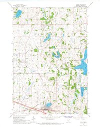
1965 · Albany
USGS Topo · 1:24,000
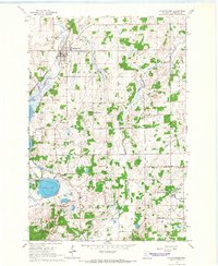
1965 · Holdingford
USGS Topo · 1:24,000